Sunday, August 19, 2012

DAY-6 REPORT: 7/29/12: Overlook at Oasis Spring to Sunrise Trailhead (12.15 mi)


TOTAL PCT MILES COMPLETED AFTER THIS HIKE:  59.6 Miles 

Start at Oasis Spring Overlook, our trail seen on the hillside ahead.
We decided to meet at the "civilized hour" of 8:00am at Sunrise Trailhead, since it was probably going to soon get hot no matter how early we started.  A little more sweat was worth it to have a second cup of coffee!  As well as ourselves, we met up with Rosalind and Daniel.  It was really nice to have Daniel join us again on this hike.  Overall hike time for this section was 6-hours, 25-minutes.  Subtracting time for lunch, we continue to move at around 2.0 miles per hour.  Our actual hiking pace, per the GPS, averaged 23mins/mile... not bad at all.

Looking the long way down, just after Pioneer Mall
From Sunrise TH, we all jumped in our truck to head toward the start at the Oasis Spring Overlook, but stopped at Pioneer Mall picnic area to stash some water that we could use to replenish our supply on the hike.   We could have probably dropped water off at a spot that would have been a bit later in our hike, but this was a nice spot to get some shade to take a snack break as well.  I don't think that there was a lick of shade available after this point.

Watching the gliders prep for takeoff
We had hiked the section of trail before between the Oasis Spring Overlook and Pioneer Mall, so it was nice to see it again.  We watched our GPS to see when we broke the 50-mile mark on the trail, and we all said a "Hooray" when that happened.  No champagne though, it was too hot!  
On the edge

We had a short break at Pioneer mall to eat some bars, replenish our water supply from our stash, and enjoy the last bit of shade we would have for the remainder of the day.  Note that there is no potable water supply here at the picnic area, so what you bring with you on this hike is all that you will have.  There is a source of water for horses at Pioneer Mall, but I would filter it before drinking it.

Another stop to enjoy the views
We had never before hiked the trail section from Pioneer Mall onward, and so it was all a mystery to us and we were very pleasantly surprised to find that this section of trail really affords the best views of the desert from the Lagunas.  Simply put, the views were mind-blowing.  We had to constantly stop to enjoy them.  We passed the hang gliding launch site that is at the end of Kwimee Road, and briefly watched 4 gliders being set up for launch.   A little while later, after we left them, they had launched and we enjoyed watching them flying for almost the whole remainder of the hike.


Entering Anza Borrego State Park !!!
After leaving the glider launch site we passed a sign that notified us that we were officially entering into Anza Borrego State Park.  This was a pretty exciting moment for us, because it marked the beginning of a new stage of our hiking.  From here on, till we came out of the desert again, it was going to be some dry and rugged going.

Our new pal, Priscilla
We ran into a friendly woman by the name of Priscilla Lister who writes a hiking column for the Union Tribune called "Take a Hike".  We enjoyed talking to her and we exchanged contact information as she said she would like to include a little bit about our "story" for the piece she was going to produce for this particular hike she was doing.    Once she writes the piece we'll provide a link to where it can be found online.  You can see archived articles she has written for hikes in San Diego by clicking HERE.  Her articles are a great resource for hikes in San Diego that you might not find in publications such as "Afoot and Afield in San Diego County."  Priscilla kindly emailed to us a few photos she took of our team while hiking, here are a couple...

Today's crew with stupendous views to our right
There's Allie and Rich faintly seen on the trail. This image shows the grandeur of the views from this trail section.

Cool boulder field nearer the end of the hike

It got really, really hot again soon.  We eventually had to stop for lunch, and found a spot in full sun but with a smattering of breeze.  The air near the ground, and the ground itself, was probably well in excess of 100-degrees.  Hot rocks to sit on, and hot feet!

Another Happy Day of Hiking


Eventually we made it to the cars and to our ice-cold beers waiting there.  It was an easy day of hiking, with an overall drop in elevation of about 500-feet.  The only thing that made it tough was, once again, the extreme heat.   Despite the heat, this was one of our favorite days on the trail.  From here, we drop into the desert, so we'll have to wait for cooler weather in fall or winter.  In the meantime, we'll be doing some recon to figure out the logistics for the next sections.  We're excited for all that is ahead of us!  Hopefully Atticus doesn't get much heavier than he is now.  And hopefully he will start hiking more on his own.  With him and the pack, that's in excess of a 50 lb. load now.  Thanks again to everyone who comes with us and helps us carry him! Without you, we would never be able to do this on our own.  Well, maybe we could, but it wouldn't be nearly as fun without you.

UPDATE: Priscilla Lister's piece can now be found by clicking HERE.


Monday, June 11, 2012

DAY-5 REPORT: 6/10/12: Burnt Rancheria to Overlook at Oasis Spring (6.3 mi)

TOTAL PCT MILES COMPLETED AFTER THIS HIKE:  47.7 Miles


THE GOOD: Easily the best views of all the hiking so far.  The first half of the hike being almost entirely under the trees and in shade.  The hike has a net downhill of about 500', easy grades.
THE BAD: The last section that is all downhill snakes back and forth and takes forever to get back to the car.  But it's a beautiful area, so it's not bad at all,  I just couldn't think of anything else that I could say was bad.
AND THE ABSURD:  Sharing the trail with runners near the end of their 100-mile ultramarathon.


Shade, glorious shade!
Start temp approx 75-degrees and stayed more or less the same throughout the hike.   Great hiking weather!  Decent breeze blowing helped keep us cool.  Start time 9:20am, finish time 1:00pm (3.3-hours.)  Atticus walked about a mile of it in total, so we went a bit slower than we could have had we carried him the whole way.


Looking west, overlooking the forest of Laguna Recreation Area
Only 4-people on this hike, ourselves and Rosalind. As was reported on the hike from yesterday, we spent this weekend camping at Burnt Rancheria Campground so we were able to star this hike directly from our camp after leaving our shuttle car at the overlook above Oasis Spring, alongside the Sunrise Highway.  A very short drive to leave the shuttle car.  We got a bit of a later start this morning as it was cooler than on previous hikes and we did a bit of packing of our gear first.  And, enjoyed a second cup of coffee.  Or was it a third?


Dropping down towards the saddle overlook
The first half of the hike was in the shade of trees, and beautiful except for the occasional sound of vehicles along the Sunrise Highway nearby.  The very first section of the hike is also called the "Desert View Trail", aptly named.  Great first views of the desert.  


At the overlook at the saddle, Sawtooth Range in the back left.
Once we eventually emerged from the forest, and back into the Chaparral, the views all around were fantastic.   Eventually we dropped down to a saddle where a short spur trail to the right lead to an amazing overlook above the desert.  If you do this hike, be sure not to miss visiting this spot.


Breathtaking views at the saddle
Everyone is happy here


San Felipe hills faintly seen at end of arrow.  
Likewise, when you start dropping down towards where the car is parked there is a short spur to the right that leads to Foster Point (it is signed, so it is not easiliy missed.)  There is a monument there which points out all the mountains and ranges that can be seen from that point.  It's hard to make out, but we could see the San Felipe hills from there, where will will end up hiking once the weather cools down again in fall or early winter.


Atticus leading the way downhill
After completion of the hike, it's great to get a Blackened Burger and a cold beer (they have great bottled IPA's) at the Pine House Cafe & Tavern.  They also have Hard Julian Cider that is quite nice as well.  And, don't forget the showers at Burnt Rancheria Campground!
Atticus and Rosalind having a good moment together


Speaking of which, you can park at the showers at the campground, as long as you have an Adventure Pass.  There are a few designated spaces there for Adventure Pass holders.


This is the shortest, but the most scenic, hike we have done so far on the trail.  Worth the wait!


Click HERE for our hike as recorded by GPS.  Note that the GPS battery went dead during the hike so the data is incomplete.

DAY-4 REPORT: 6/9/12: Cibbets Flat to Burnt Rancheria (9.6 mi)

TOTAL PCT MILES COMPLETED AFTER THIS HIKE:  41.4 Miles


The happy crew today, with Rosalind and "New Steve"
THE GOOD: Great vistas all along the trail.  Being able to see Lake Morena WAY behind us, and seeing all the pine forests we were going to eventually end up in.
THE BAD: The crossing at Long Creek doesn't really have any shade trees for enjoying lunch under.  Better to stop just a bit earlier in Long Canyon to find a tree to sit under for lunch.
AND THE UGLY: Biting flies again, during lunch at Long Creek.


Our destination, just about here at the arrow
Start temp approx 64-degrees.  Forecast high was 79 degrees but eventually it was at least 10-degrees in excess of that.    Decent breeze blowing helped keep us cool.  Start time 8:20am, finish time 1:45pm (5.5-hours.)  Took a bit longer than anticipated because the total climbing is 2400', so we had a slower pace.  It's not a grueling steep hike, just steady uphill with a few short, steeper sections.


On the trail, using a "StickPic" widget to take the picture
We decided to do something fun and different for this hike and the next (to occur the next day, on Sunday.)  We went up Friday night and set up camp at Burnt Rancheria Campground.  This way we could finish a hike at camp on Saturday, and start a hike from camp on Sunday.  Great way to do the hikes in this area.  Plus, there are showers at the campground after hiking!


Looking southwest, Lake Morena WAY back there under the arrow
5-people on this hike including Atticus.  Besides ourselves, Rosalind and "another" Steve joined us (this was the first hike with "New Steve".)  "Old Steve" and Daniel couldn't make it on this hike.  We met at Cibbets Flat at 8:00am and did not need to start with a shuttle as we had Rosalind's car back at the camp at the end of the hike.   Kitchen Creek Rd. is permanently gated now, so we had to drive 1/2 hour from Burnt Rancheria all the way down Sunrise Highway to Hwy 8, then go east to Kitchen Creek Rd. Exit, then up that road to Cibbets Flat Campground.


The trail alongside Long Creek, a nice and shady section
The hike begins with a nice walk through the campground, and catches Fred Canyon Road at the top of the campground.  Then it's steeper hike up the road for about 0.65 miles to where the PCT crosses the road.  The PCT starts off a bit steep, then eventually levels off and is surprisingly level.  Great views along this stretch before winding down towards Long Creek.  


Lunch at Long Creek at the closest shady spot we could find


There are a few spots above the creek where you can have lunch under a tree, or there a nice spot later (after the creek crossing) where you can have lunch (later described here.)  We had lunch at the crossing of Long Creek and got bit by flies yet again.  Our bug spray didn't seem to work very well to keep them away.


"New Steve" taking a turn with Atticus
The trail climbs quite steeply from Long Creek for a short distance, then passes close by to a nice meadow on the left.  There's a nice oak tree there that could be a great place to stop for lunch.  Eventually the trail reaches the reward of pine forests that provides fabulous shade for the last few miles of the hike.  This is a really nice stretch of trail to be hiking after all the hot chaparral we went through to get here.


Hooray!  The pine forests at last!
One last couple of switchbacks up a slope and then a spur that leads to Burnt Rancheria Campground.  A short hike took us to our camp, more shade, and the cold beers we had been looking forward to.  Just north along the Sunrise Highway, about 50-yards away from the campground entrance, is the Pine House Cafe & Tavern.  They have a great Blackened Burger there, and a nice selection of IPA beers.


Shade and Beers at Camp


This was a great hike!  I had been looking forward to reaching the landmark of making it up to the 600' level of the Laguna Recreation Area.  From here, it's more or less downhill til we get to the desert.


Click HERE for our hike as recorded by GPS.

Monday, June 4, 2012

DAY-3 REPORT: 6/3/12 Lake Morena to Cibbets Flat (13.4 mi)

TOTAL PCT MILES COMPLETED AFTER THIS HIKE:  32.8 Miles


Ridge midpoint between Lake Morena & Boulder Oaks
THE GOOD: Great vistas all along the trail, lots of variation in both terrain and scenery, more oak woodland than anticipated.  And, of course, great company.
THE BAD: Not so pleasant rattlesnake encounter, Rich getting stung by a bee on the back of his head.
AND THE UGLY: Over 10-degrees hotter than forecast.


Descending the ridge and towards Cottonwood Creek


Start temp approx 60-degrees.  Forecast high was 78-80 degrees but eventually it was at least 10-degrees in excess of that.  Seldom caught the breeze as we were in the lee behind the terrain for most of the hike.  Start time 8:00am, finish time 4:00pm (8-hours.)  Took longer because of extended lunch break at Kitchen Creek above the falls.


View of the nice flat valley with oak woodland to be crossed.


6-people on this hike including Atticus.  Besides ourselves, Daniel, Steve, and Rosalind joined us. We met at Cibbets Flat at 7:00am, and drove a shuttle car back to Lake Morena.  Funny enough, the drive mileage is longer than the hike mileage.


It's a pleasant hike from Lake Morena all the way to where the trail passes under Hwy. 8.  Fairly flat, and with a morning start a lot of shade under the oak and cottonwood trees.  Midway between Lake Morena and Boulder Oaks Campground there is a ridge upon which the trail climbs and eventually descends, but with an early start this is a very pleasant area to hike with great views along the way.  Water refilling at Boulder Oaks from a faucet there (good tasting water.)
Under the bridge for Buckman Springs Rd and crossing Cottonwood Creek


On our way to Boulder Oaks Campground
Rosalind taking a turn with Atticus


After Hwy-8 the climbing begins quickly.  About 2-miles from Boulder Oaks there is a spur trail off to the left that goes steeply down a few hundred yards to Kitchen Creek, above the point of the waterfall.  This is where we encountered the rattlesnake that had to be coaxed away from the trail.  Gave Allie quite a fright as he was only about 2-feet off the trail, right next to her,  when it started its rattle.  It was coiled up and ready for business by the time I gave it a nudge with my hiking pole to hurry it along his way to elsewhere.  I love seeing rattlesnakes, I think Allie could do without them.  Not sure how Atticus feels about them yet.


Just before the spur trail to Kitchen Creek Falls and lunch. Notice all the flowers in bloom.  Color everywhere!


From where we came:  Lake Morena is below Morena Butte in the background above my finger. We're about half way into the hike here.


Kitchen Creek is a great place to stop, with a nice Cottonwood providing shade right at the creek.  We took off our shoes and soaked our feet in the cool water as we ate lunch.  Because it was so nice, we spent quite a bit of time there before we put our boots back on to start again.


Great lunch spot along Kitchen Creek
The heat of the day really kicked in after lunch, and that could have been because of the time of the day, the specific area we were in, or both.  The trail continues winding up the canyon above the creek, and eventually crosses Kitchen Creek Road.  From there it goes around the east side of a ridge and we were afforded a very pleasant view of Thing Valley and surrounding area.  Trail was quite tight along this section, a bit choked with the flora.  Very interesting rock formations in this area, like fingers of granite all clumped together.


Steve and Atticus soaking them doggies
Before crossing Kitchen Creek Road we were able to spy the pine forests up high in Laguna Recreation Area, our destination for the next hike.  It's going to be nice to get up there!


Cibbets Flat Campground is a great, shady area to enjoy those ice cold beers at the end of the hike.  Well, it's a great place other than getting bit by those darned flies again.  Glad they weren't on the trail all day though, like last time.


Quality sign post after crossing Kitchen Creek Rd


Daniel taking his turn with Atticus, one of them happy, but I think the other is over this hike.


"Well done" to everyone that came on this hike, and thank you!   It was a really fun one, much more so than the last one.  We think that eating a couple of Thermotabs (buffered salt tablets) really helped rejuvenate us. Eating those every few hours shall now become a new part of the process (especially in hot weather.)


Last couple of miles with great views south and east


Almost a good advert for REI Clothing, last few yards at Cibbets Flat


Thursday, May 24, 2012

DAY-2 REPORT: 5/20/12 Hwy.94 to Lake Morena (17.9 mi)


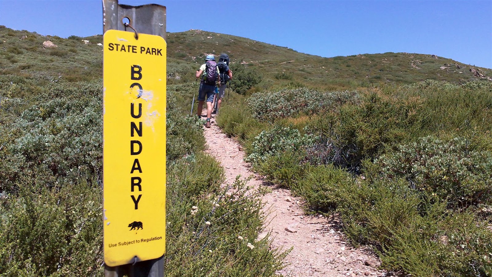
This sign says it all about this hike

TOTAL PCT MILES COMPLETED AFTER THIS HIKE:  20.2 Miles

Start temp approx 50-degrees, quickly warming up.  Forecast was for a high of 85, but temps for most of day were in the high 90's. We had a temp of 94-degrees in the shade at lunch time.  Breeze was on and off, nice relief at times but much of the time we would like to have seen more if it.  Start time for hike was 7:30am and finish was at 5:40pm (10-hours)

Steve's shuttle van at the start on Hwy 94
This hike was a hot slog sprinkled with little pleasures. Because of the temperatures being much higher than anticipated we ran into some difficulties in the last 5-miles coming out of Hauser Canyon.   It is far better to do this hike earlier in the year.

We had a total of 6-people on this hike.  Ourselves, our friend Rosalind, and Steve & Daniel who joined up with us through the Meetup Group we created for this adventure.  We all met at the entrance to Lake Morena County Park at 7:00am, jumped into Steve's van with all our gear, headed south through Campo to a small pullout along Highway-94 where the PCT crosses the highway, and then we were off by 7:30 on the trail.  It is perfectly safe to park a vehicle here for the day, as it's so close to Campo and the area is crawling with Border Patrol vehicles. 

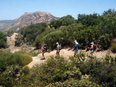
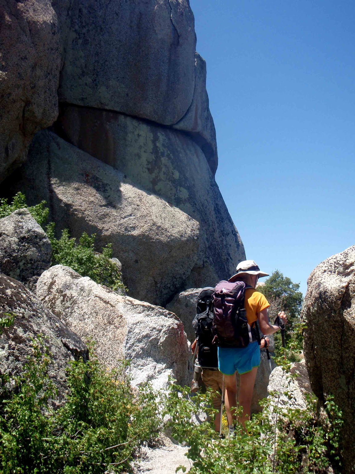
Early on, climbing up to Hauser Mountain
The trail climbs steadily towards Hauser Mountain and we kept a fairly good pace while it was still relatively cool, but the heat kicked in within an hour of starting.  We were surprised to see so much water still flowing or trickling in the ravines, and the wildflowers were out in full force.  The entire way up to the southern lip of Hauser Canyon was a visual pleasure.  I noticed that we were going through our own water faster than I had thought we would be, and concern started creeping into my brain.  However, I knew that if worst came to worse we could filter-pump water out of the creek in Hauser Canyon to replenish.

The burn zone recovering nicely on Hauser Mountain
We had brought in our own pack 3.5 liters of water and 1-liter of Gatorade, 4.5 liters total.  This should have been fine if the maximum temperature for the day only reached 85 as forecast.  When packing our supply pack I know that I would have liked to bring more than 4.5 liters of liquid, but the pack had already made it up to 30-pounds in weight before adding our fleeces (that we wore in the car for the drive up.)

Atticus assuring that a collected acorn is still in his pocket
With each liter of water weighing 2.2 pounds, and with a Nalgene bottle weighing 0.4 pounds, the 4.5 liters of liquid and the containers constituted approx 11.5 pounds in weight.  We could have used 2 more liters, but actually we could have gone through a total of 8-liters easily on this hike.  That would total almost 21 pounds of liquid in the supply pack, which would have brought the final supply pack weight to probably around 45-pounds.  That is more than is comfortable to carry around in a day pack!


Starting to drop into Hauser Canyon
The decent into Hauser Canyon is a bit frustrating, because you traverse the canyon wall for a long time and it seems you are often going up instead of down.  The route is a bit silly, we think, but the trail might have to take this route because of private land issues.  We eventually made it to the bottom of the canyon and the creek, but right before we got there one of our hikers starting having exhaustion difficulties.  We found a really nice spot to have lunch in the shade, about 20-paces to the left of where the PCT crosses a dirt road after crossing the creek.


"We gotta go thataways"
The creek itself was a disappointment.  It was obvious by now that we would have to pump water, but the creek was was close to drying up by this time of year and there was  little more than stagnant looking muddy puddles left of it.  I abhorred having to pump from this water source, but we had no choice.  Where I finally found water to pump was a little farther downstream, in a deeper section of water around some boulders (I had to bushwack to get access, and had to brush through some poison oak to get to it... thank goodness I didn't wake up the next day with itchy rashes.)

Morena Butte in the Background, several hours away
Since the water source was so sketchy, I only pumped 2-liters of water.  We three were out of water as was another hiker, but two of us didn't need any so it seemed 2-liters might have been enough.  Wrong.  I should have pumped at least 4-liters.  Though more water might not have made much difference because what we needed for our troubled hiker was more electrolytes.

We dipped our headgear and tee shirts into the water to help keep us cool for the hike ahead, and for about 5-minutes that worked really well.  I would rather have had that 5-minutes than none at all though.

Granite going down into Hauser Canyon
As we had been dropping in to the south side of Hauser Canyon the trail up and out again looked quite formidable.  That climb is south facing so it was going to get the full brunt of the sun,  and be steep, long, & shadeless.  I thought it prudent to have a longer lunch break and spend more time in the shade recovering before heading up that trail.  Again, if it had only been 85-degrees, this hike up would have been fun, but it was probably close to 100-degrees of radiant heat by this time, we were low on water, and our struggling hiker was by then having very serious difficulty on the way up:  Full-on total exhaustion, overheating, cramping, and labored breathing.  Feeling the responsibility for everyone's well being , it started seeming to me like there was the possibility that we were going to have to coordinate for an emergency and possible rescue.  It's one thing to 
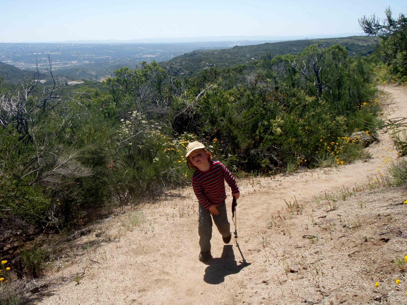
have all adults on the trail in these conditions, quite another to have one of us only 3.5 years of age. 

Steve taking a spell with Atticus
But we had a great team and even though little was said between us about the dire situation,  the attitude was very positive and there was plenty of non-verbal support in the air.  We had the right mental energy in our group, and our failing hiker found the fortitude to overcome body failure and make it out.   It's pretty scary when one of your group lays right down on the trail, in full sun, and says they need to just take a nap. 

Eventually Lake Morena came in sight, and thankfully the air was starting to cool down a bit as the sun got lower in the sky.  Our failing hiker seemed to get back some energy, and was able to keep up the last couple of miles... looking forward to the ice water in the cooler.  The rest of us were talking about our ice-cold beers in there.   I've bonked on some of my running races, and it's more than just a little frustrating.  Our bonker on this hike did a great job of finding the willpower to keep on going despite bodily rebellion, and I admired and appreciated the fortitude and positive attitude maintained.

Nice shady lunch spot along Hauser Creek
Those beers in the cooler went down well, and we were treated to an eclipse of the sun before we all headed home.  We are grateful to never have to do that stretch of trail again.  If we had done it in March, it would have been a pleasant hike.   Sick in the heads as we are, we still enjoyed the hike and its challenges, but there are plenty of other hikes we can do besides this one again.

Relieved to finally be going down to Lake Morena
One more thing about this hike that I can't fail to mention.  Adding insult to injury, the biting flies were a nauseating nuisance.  Big buggers that were drawing blood with their bites.   I think that they had just come out that previous week.  I hope that they disappear soon as I don't relish having to deal with them on the next leg of the hike that we plan to do in another 2-weeks. 

If it's a "forecast high of 85" again for the day of that next hike, well, we might wait to do that leg in late fall instead. 


Click HERE for our hike as recorded as GPS


******
Thank you to everyone who joined us on this hike!  And thanks to Daniel for the photo contributions.  Looking forward to the next leg!